For optimal viewing experience, please rotate your device.
World Ocean Council presents
Produced for ICEYE by
Blue Horizons
A new series exploring the connection between the oceans and our planet, featuring how ICEYE builds resilience against climate-related challenges.
A constellation
of information
The new Blue Horizons series, featuring an ICEYE film produced by BBC StoryWorks Commercial Productions, addresses the challenges facing our world's oceans. Explore the full series at BBC.com.
Our connection with the ocean runs deeper than we can fully grasp. Life on Earth began in its depths, and the ocean continues to impact our daily lives, in ways we can see and ways we have yet to understand. But human activity has significantly altered this vital ecosystem. So, how can we positively impact and help protect our seas?
The Blue Horizons series delves into our intrinsic connection with the ocean. This unique online film series, featuring a film produced for ICEYE, examines how the ocean affects each and every one of us – from supporting ecosystems that sustain livelihoods to the everyday products we use and the vital water we need to survive.
Scroll to explore more →

The ocean
is vital for
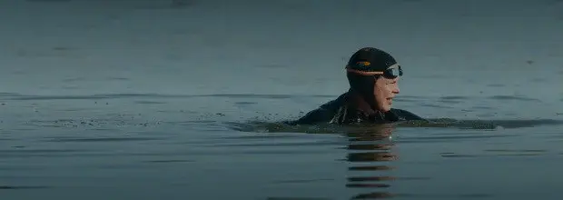 life on Earth.

Ocean facts —
Ocean facts —
Ocean facts —
Ocean facts —
Ocean facts —
-
Oceans cover 71%
.gif) of Earth's surface
of Earth's surface
ICEYE's SAR satellite constellation capacity can cover every inch of Earth.
-
Up to 2 million marine species
ICEYE provides reliable and timely data that can be used to map oil spills, detect illegal fishing, monitor traffic and other immediate threats to marine wildlife - as well as to study long-term changes such as the melting of sea ice.
-
Oceans produce over 50%
.gif) of our oxygen
of our oxygen
ICEYE’s satellites track coastal ecosystems, changes in sedimentation, sea level and ice cover – issues that affect marine ecosystems that are essential for oxygen production.
-
$1.5 trillion economic impact
Oceans are vital for trade and traffic of modern societies, providing employment and livelihood for millions. ICEYE enables monitoring maritime activities and conditions to ensure safety at sea.
Ocean health is urgently threatened by
melting sea ice,
flooding,
rising temperatures,
pollution and more.
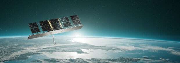
ICEYE’s SAR satellite constellation allows us to observe in extreme detail changes in our coastline and oceans. By collecting increasingly precise data more regularly over time, we can see, focus on and respond to changes in our environment.
An ocean
 of data

-
Synthetic Aperture Radar
.gif)
Award-winning engineering enables ICEYE’s SAR satellites to be small and affordable, yet incredibly powerful imaging areas up to 84,000 km² and zooming in at very high resolution down to 50 cm.
-
Imaging in all conditions
SAR satellites can see through clouds, smoke, ash, fog and even total darkness.
-
World’s largest
.gif) SAR constellation
SAR constellation
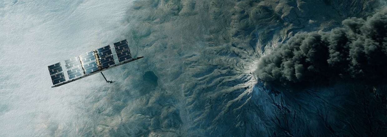
ICEYE owns and operates the world's largest SAR satellite constellation in orbit, with more satellite launches planned.
-
Unprecedented change detection
Having hundreds of locations imaged daily, or even multiple times a day, enables change detection like never before.
Redefining Earth
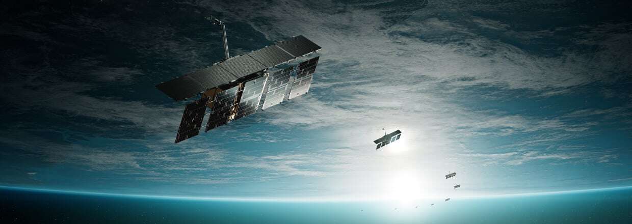 observation...
...and turning data into action.
Life on Earth is constantly changing. The ability to monitor and track these changes is key to understanding, predicting, and responding to events around us.
Sea ice monitoring
ICEYE’s SAR satellite data provides researchers and the maritime industry with reliable and detailed information about changes in ice formations, including vast Arctic and Antarctic areas that are highly difficult to monitor.
Learn more →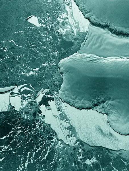
Sea ice monitoring

Oil spill detection
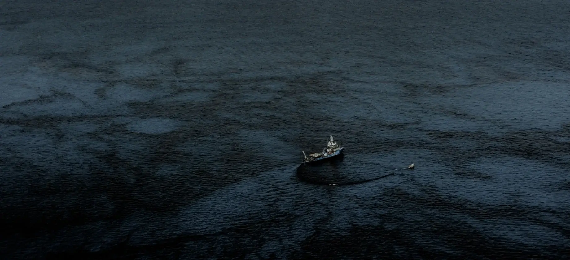
Oil spills from vessels, especially small ones, are difficult to detect, and they are very harmful to the environment – these small spills may represent up to 80% of total oil spillage globally. SAR data offers a quick, reliable, and cost-efficient method of oil spill detection.
Learn more →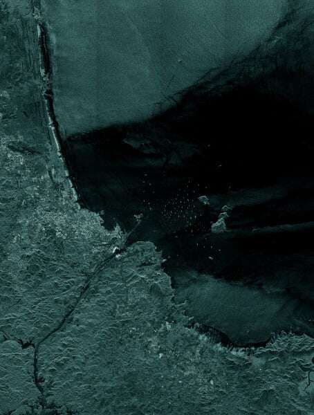
Oil spill detection
Flooding and hurricanes
Floods are the most common and costly natural peril. ICEYE blends SAR data with open source data on the ground quickly providing emergency management organizations and insurers with near-real time intel on the extent of the flood and damages.
Learn more →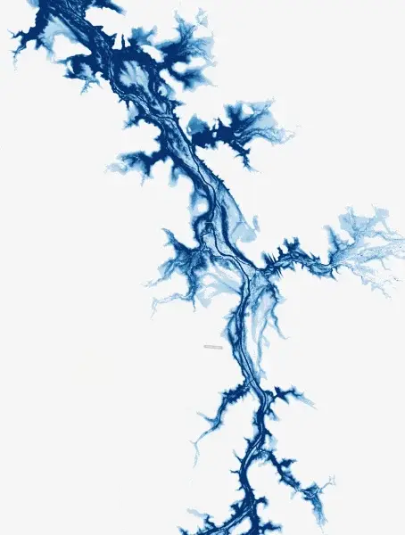
Flood monitoring
Maritime awareness
ICEYE’s SAR satellites can capture an area of up to 50,000 km2 in a single satellite image and thus monitor entire sea routes anywhere on Earth, enabling us to detect and react to any threatening maritime activity.
Learn more →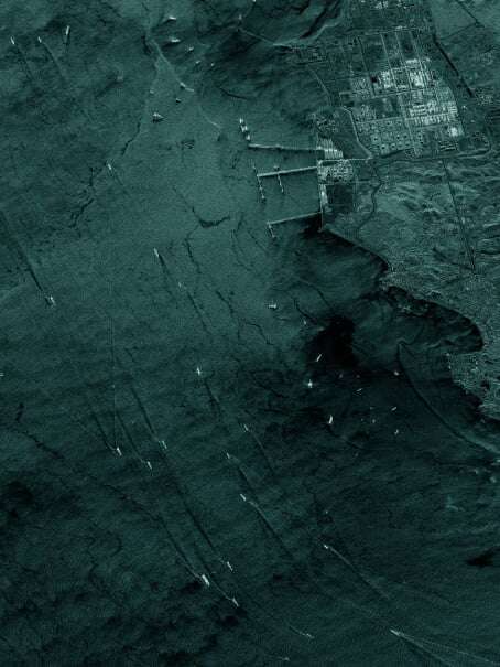
Maritime awareness
Improving life
on
 Earth
Earth

Our vision
for a better future
Global source
 of truth

-
Fact-based decision-making
With our reliable and near-real time Earth Observation data, we enable our customers to make fact-based decisions to benefit people and the planet.
-
Rapid response
.gif)
Rapid insights empower proactive responses to natural catastrophes, enhance preparedness and community resilience.
-
Democratizing Earth observation
ICEYE gives governments and organizations the possibility to acquire spaceborne SAR capability faster than previously possible. Our satellites are purpose-built to be smaller, more affordable and more flexible than legacy systems, making SAR imagery accessible to all.
-
Prediction
.gif) and preparation
and preparation
Persistent monitoring enables detecting patterns and predicting environmental effects strengthening community resilience and loss mitigation.
Join
 the cause.

What we do
See how we develop SAR satellites, data services and natural catastrophe insight solutions in order to offer organizations unparalelled situational awareness.
Explore iceye →Partner up
Join our partner ecosystem and create new opportunities for organizations to harness and develop Earth observation for the good of all.
Iceye partnerships →Join our team
Working with ICEYE, you will be part of making the impossible possible, whilst shaping the Earth Observation industry.
Explore careers →