For optimal viewing experience, please rotate your device.
World Ocean Council presents
Produced for ICEYE by
Blue Horizons
A new series exploring the connection between the oceans and our planet, featuring how ICEYE builds resilience against climate-related challenges.
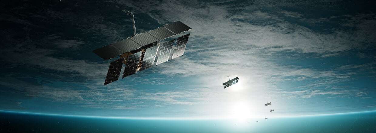
A constellation
of information
The new Blue Horizons series, featuring an ICEYE film produced by BBC StoryWorks Commercial Productions, addresses the challenges facing our world's oceans. Explore the full series at BBC.com.
Scroll to explore more →

The ocean
is vital for
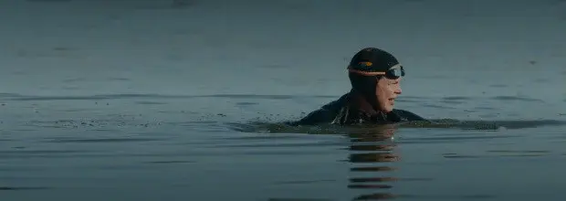 life on Earth.
Ocean facts —
Ocean facts —
Ocean facts —
Ocean facts —
Ocean facts —
-
Oceans cover 71%
.gif) of Earth's surface
of Earth's surface
-
Up to 2 million marine species
-
Oceans produce over 50%
.gif) of our oxygen
of our oxygen
-
$1.5 trillion economic impact
Ocean health is urgently threatened by
melting sea ice,
flooding,
rising temperatures,
pollution and more.

An ocean
 of data
-
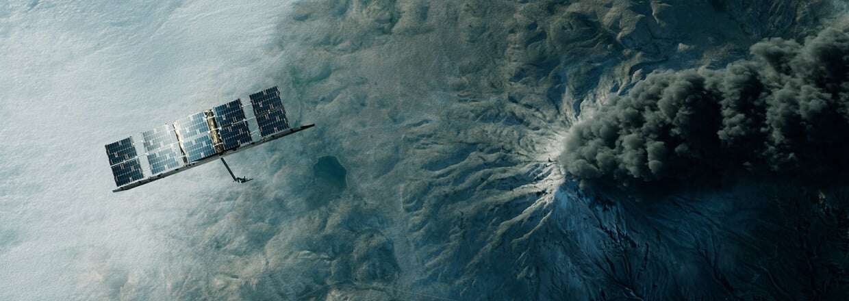
Synthetic Aperture Radar
.gif)
-
Imaging in all conditions
-
World’s largest
.gif) SAR constellation
SAR constellation
-
Unprecedented change detection
Redefining Earth
 observation...
...and turning data into action.
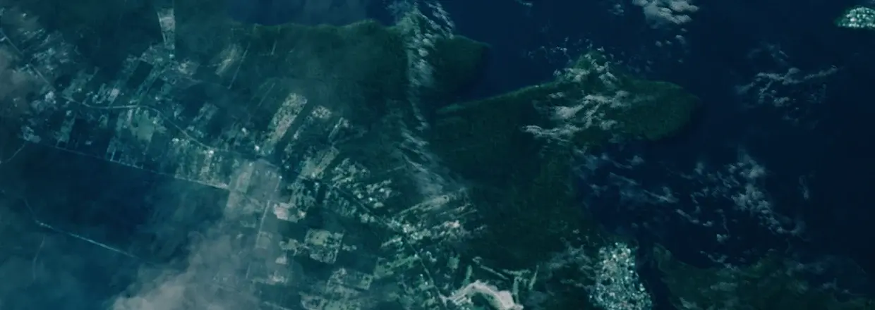
Life on Earth is constantly changing. The ability to monitor and track these changes is key to understanding, predicting, and responding to events around us.
Sea ice monitoring
ICEYE’s SAR satellite data provides researchers and the maritime industry with reliable and detailed information about changes in ice formations, including vast Arctic and Antarctic areas that are highly difficult to monitor.
Learn more →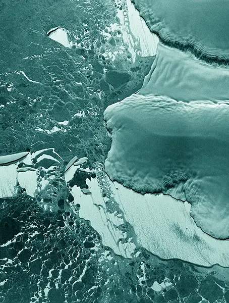
Sea ice monitoring

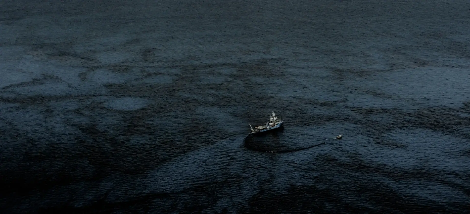
Oil spill detection
Oil spills from vessels, especially small ones, are difficult to detect, and they are very harmful to the environment – these small spills may represent up to 80% of total oil spillage globally. SAR data offers a quick, reliable, and cost-efficient method of oil spill detection.
Learn more →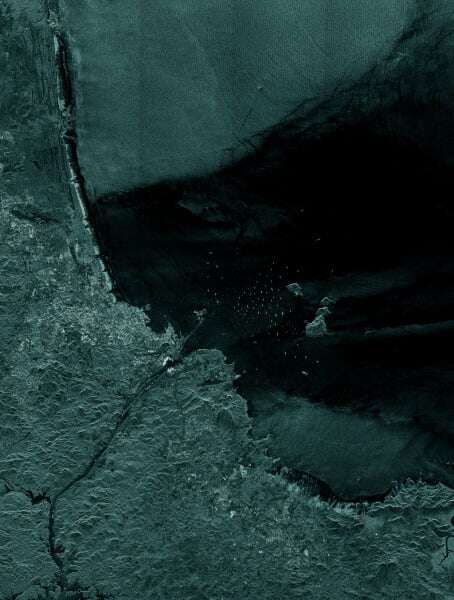
Oil spill detection
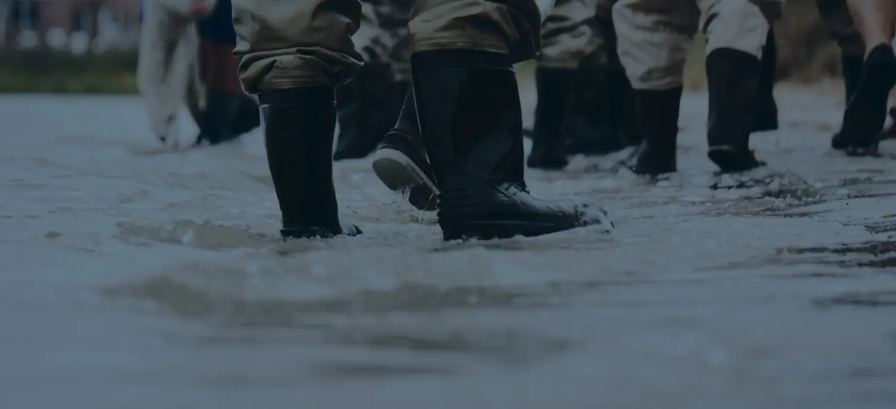
Flooding and hurricanes
Floods are the most common and costly natural peril. ICEYE blends SAR data with open source data on the ground quickly providing emergency management organizations and insurers with near-real time intel on the extent of the flood and damages.
Learn more →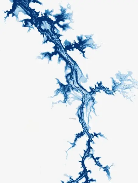
Flood monitoring
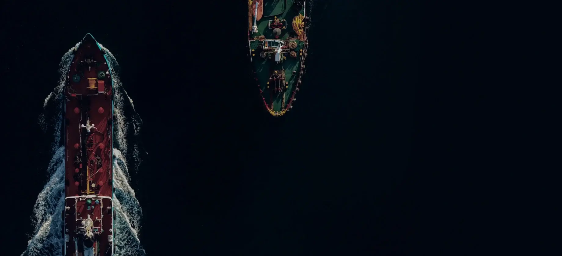
Maritime awareness
ICEYE’s SAR satellites can capture an area of up to 50,000 km2 in a single satellite image and thus monitor entire sea routes anywhere on Earth, enabling us to detect and react to any threatening maritime activity.
Learn more →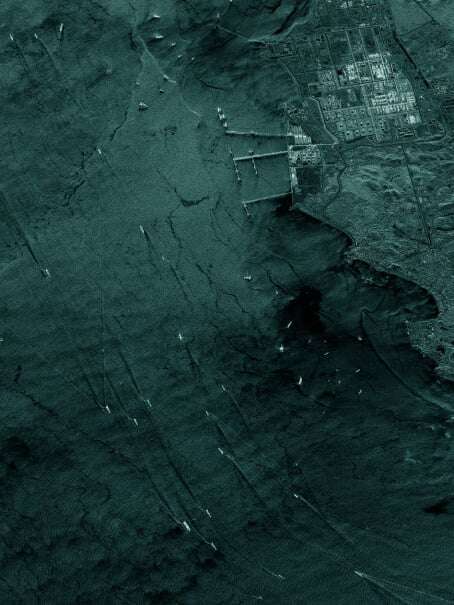
Maritime awareness
Improving life
on
 Earth
Earth
Our vision
for a better future
Global source
 of truth
-
Fact-based decision-making
-
Rapid response
.gif)
-
Democratizing Earth observation
-
Prediction
.gif) and preparation
and preparation
Join
 the cause.