Contact us
Get in touch with our experts to find out the possibilities daily truth data holds for your organization.
Persistent Monitoring
Natural catastrophe solutions

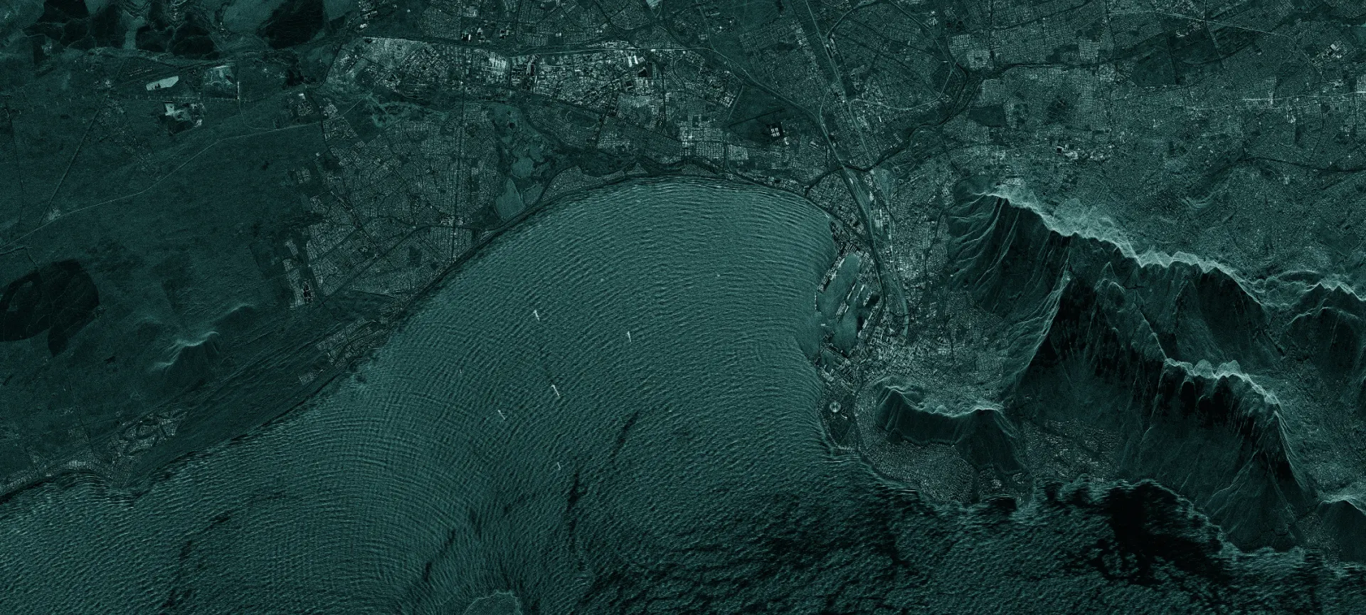
Monitor any location with SAR data and get unprecedented access to accurate images of any location on Earth – every few hours, day and night, in any weather.
Only SAR (Synthetic Aperture Radar) satellites can collect images day and night and in any weather. Only ICEYE’s constellation of small and agile SAR satellites can revisit the same location in space daily and even sub-daily, enabling a level of change detection that’s never been possible before.
We’ve launched over 30 satellites since 2018 with another 15 more planned for 2024 and beyond.
See through clouds, smoke, ash, fog and even total darkness.
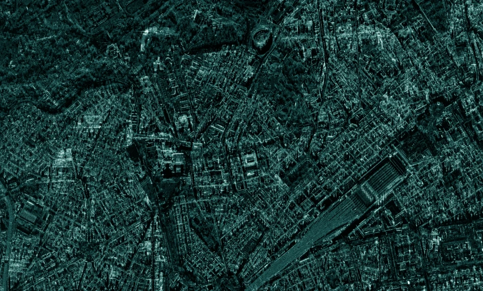
See the detail and understand the context with resolutions up to 50 cm and scenes up to 84,000 km².
Up to sub-daily monitoring and change detection allow for unprecedented change detection.
Receive data in just a few hours from acquisition.
Unlimited access anywhere on the globe.

Spot, Strip, and Scan modes
ICEYE fleet tasking options
Tasking ICEYE SAR satellites is a simple process that starts with defining your area of interest, revisit frequency, and other parameters. Request tasking from our customer service, or integrate directly to the ICEYE API platform and automate tasking.
Only SAR (synthetic aperture radar) satellites can collect images day and night and in any weather. Only ICEYE’s constellation of small and agile SAR satellites can revisit the same location in space daily and even sub-daily, enabling a level of change detection that’s never been possible before.
Truly effective change detection requires persistent monitoring. ICEYE unlocks new access to valuable data on any location on Earth - day and night, through the clouds, multiple times per day.

Talk series

Talk series
This talk series discusses SAR basics, products, and applications in an easy way. Created for everyone interested in SAR, with no prior knowledge required.
Discover how SAR data can empower your organization. Reach out to our experts today.