SAR-capture_border-monitoring_hero_medium

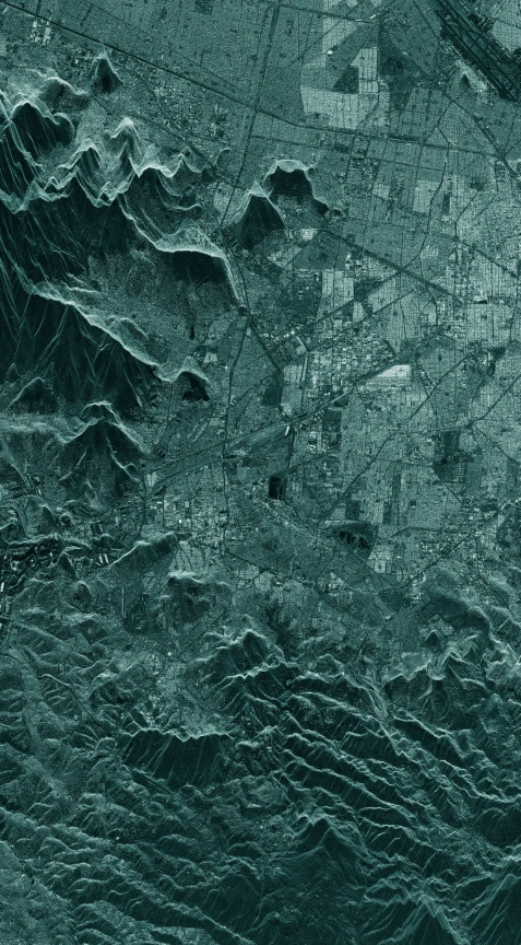
Monitor vast strategic borders with ICEYE SAR imagery

Support strategic decision-making with reliable satellite data

Identify increased border activity

With ICEYE SAR satellite data, you can regularly monitor vast border areas. By imaging your location of interest daily from the exact same location in space, the NewSpace ICEYE SAR satellite technology enables a level of change detection that has never been possible before.

Keep your land borders safe

Border-monitoring_01_comparison-slider Border-monitoring_02_comparison-slider

Detecting and classifying vehicles and objects in dense forest areas is essential for strategic decision-making. Compare the changes in vehicle concentration in the forest area in the two images.

challenge_icon

Challenge

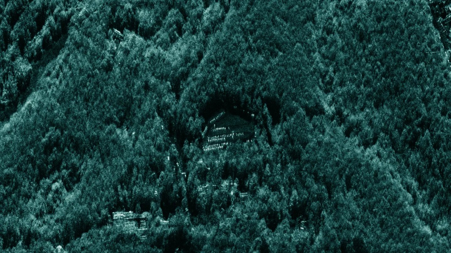
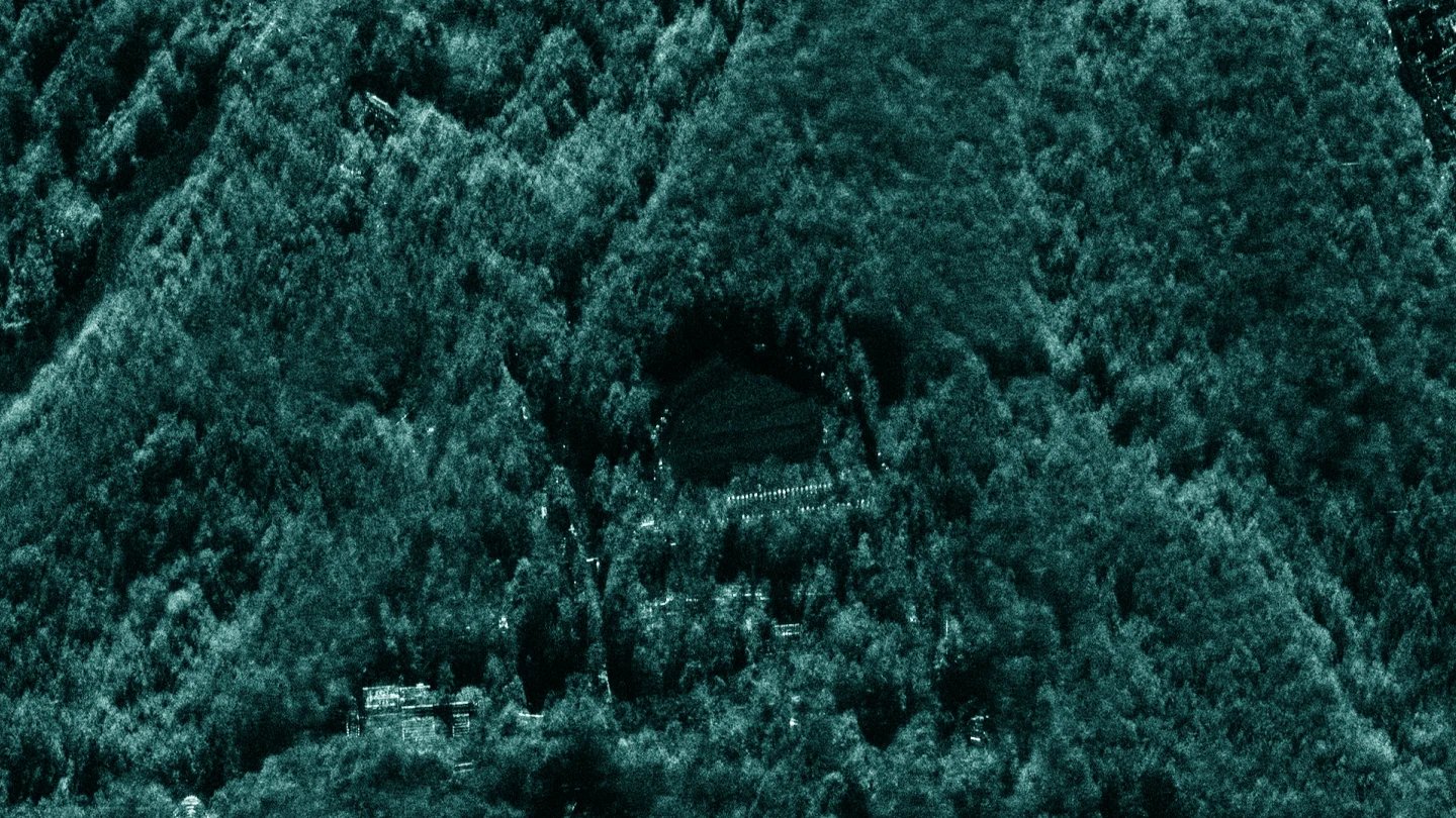
You need to detect any unexpected actions near your borders and in the wider area, including the concentration of vehicles and equipment. How can you get reliable information about their quantity, classify them, and monitor their activities around the clock even in inaccessible areas?

solution_icon

Solution

ICEYE’s detailed, high-revisit, and comprehensive monitoring can cover vast areas along your borders daily or even sub-daily. One of our unique capabilities is to collect high-resolution images even at night, through clouds, rain, fog, and smoke.

Protect your maritime borders

Download our SAR application study to learn how to use ICEYE SAR data to counteract illegal human trafficking and smuggling in your maritime borders.

Application study

PDF

ICEYE_Application_Study_Border_Monitoring_Mediterranean

Want to know more?

Reach out to learn how your organization can gain unparalleled control and flexibility through your own dedicated satellite or capacity.