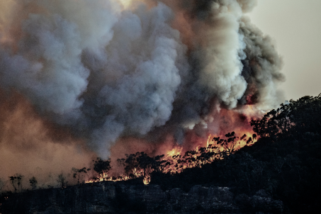
Contact us
Get in touch with our experts to find out the possibilities daily truth data holds for your organization.
Persistent Monitoring
Natural catastrophe solutions
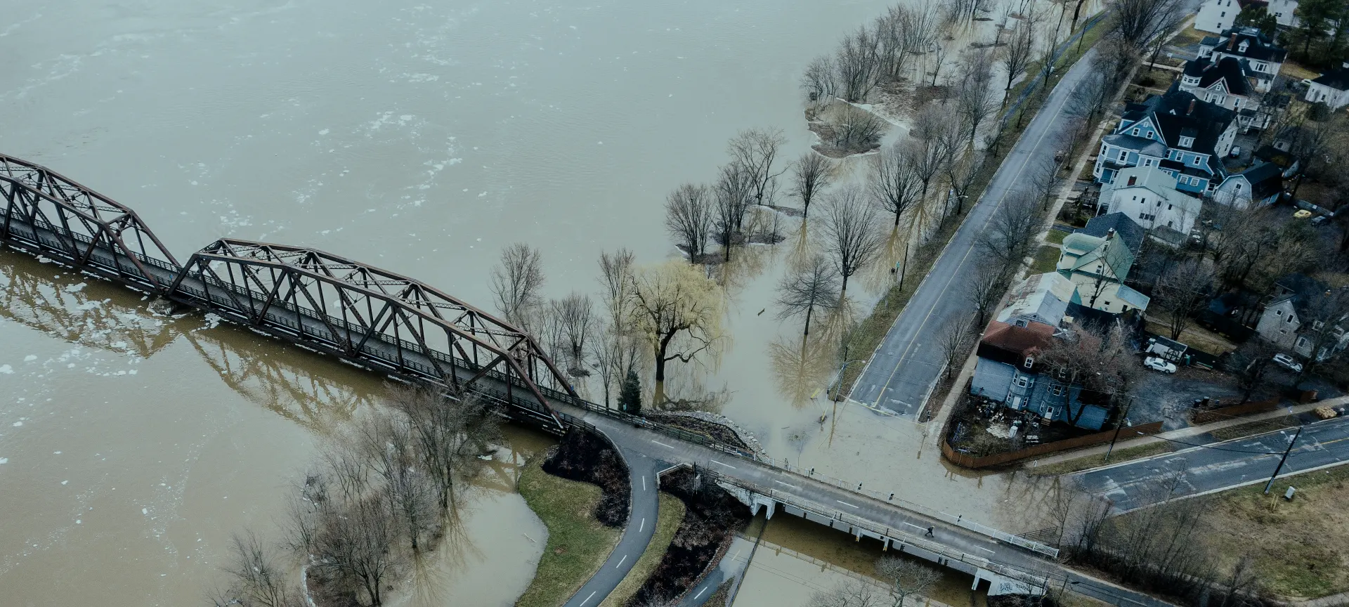
ICEYE Flood insights
On-demand webinar
With reliable data for flood depth, extent, and duration, within hours of a given flood peak.

Stephen Lathrope & Shay Strong / ICEYE
ICEYE Flood Insights is the world’s first global and always-on data utility developed for the unique needs of the insurance sector. Empowered by the world's largest constellation of cloud-penetrating satellites, we enable our clients to accurately and quickly size damage, streamline the claims process, build new products like parametric offerings and move into untapped markets.
ICEYE bridges the gap between information and actionable data by combining imagery with multiple auxiliary information sources to create fully operationalized flood hazard insights.
We provide near real-time data for flood depth, extent, and duration, within hours of a given flood peak, empowering our clients to calculate losses, manage their risks, and carry out disaster response efforts more effectively.
Our SAR technology allows our clients to see through darkness and clouds, offering a reliable and consistent method of measuring and reporting flood hazard data before, during, and after the occurrence of a flood event.


Explore our collection of near real-time flood mapping and analysis from across the globe.
November 2024
Download ICEYE's analysis on the severe flash flooding from the DANA Storm in November 2024.
October 2024
Download ICEYE's analysis on the flooding from Hurricane Milton in October 2024.
October 2024
Download ICEYE's analysis on the flooding from Hurricane Helene in September 2024.
In October 2023, Storm Babet swept across the UK, bringing historic rainfall and widespread flooding that affected thousands of homes and businesses. While traditional data sources struggled to keep pace with the storm’s fast-moving impacts, ICEYE delivered real-time, satellite-based flood insights to help insurers act faster, smarter, and more proactively.
.png)
Paul Sowden & Stephanie Powell / ICEYE
ICEYE generates near real-time flood intelligence through a combination of remote sensing satellites, observational ground truth, and sophisticated third-party data sets. Unlike traditional flood modeling, ICEYE creates flood extent and depth analyses globally, using real observation data instead of what-if projections. This allows us to deliver GIS-ready depth, extent, and impact intel your teams can trust.
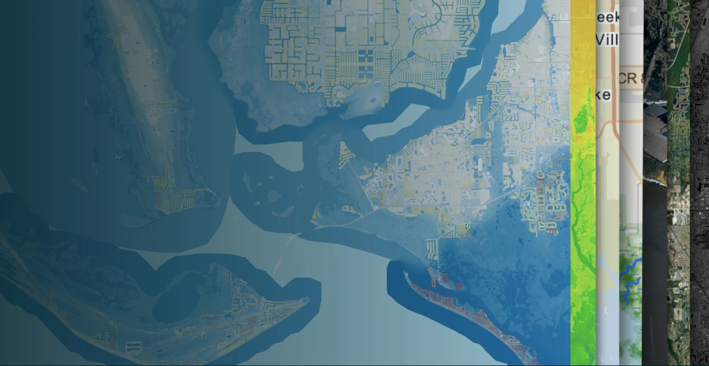
SAR satellite imagery
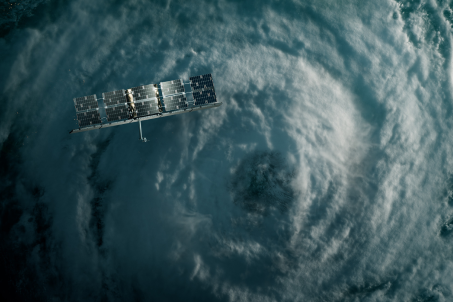
Operating the world's largest SAR satellite constellation allows ICEYE to deliver unprecedented local insights on a global scale. With 30+ satellites, rapid tasking, and 4x (or more) daily re-visits, our natural disaster monitoring is always on.
Our Flood Insights product combines ICEYE’s radar satellite imagery with an abundance of third-party data, algorithms, and machine learning, supported by a team of experts from the fields of meteorology and advanced geospatial analytics.
Depending on the individual needs of each customer organization, we deliver an actionable output of flood depth and extent data that can seamlessly flow into the business and portfolio systems that insurance companies use today.
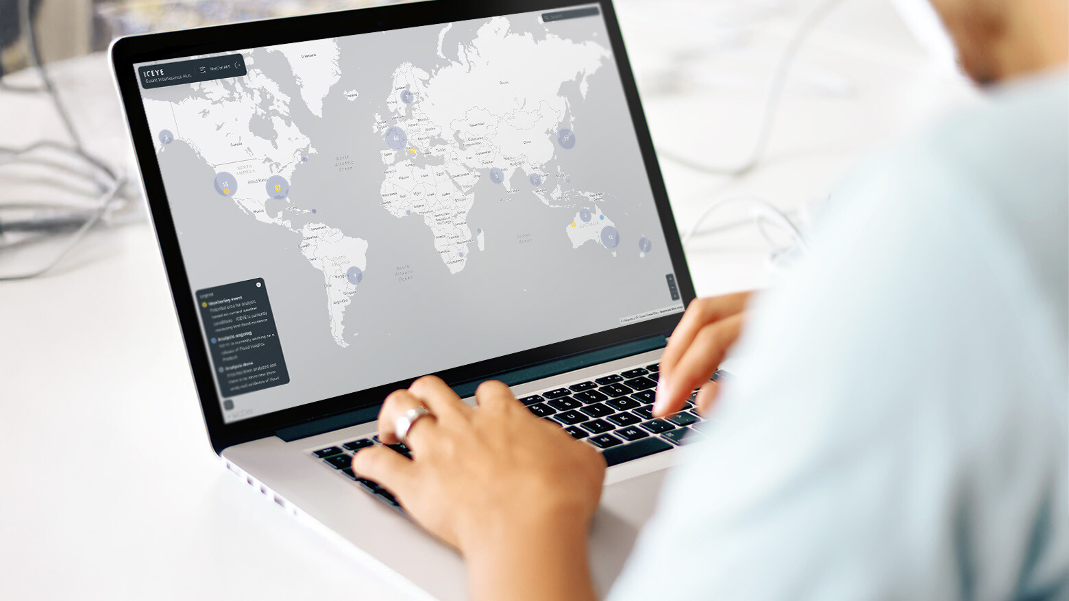
Seamlessly integrating ICEYE's high-resolution flood data into your workflows starts with choosing the right approach. Whether through file downloads and visualization, API integrations, ICEYE or partner platforms, we offer flexible solutions to match your team's capabilities.
Sign up for our Insurance solutions newsletter for regular updates about ICEYE products and get exclusive insights on the most pressing natural catastrophes delivered to your inbox.
Product
Supercharge your event response for the 2025 hurricane season with the earliest view of observed wind and flood damage data across the full extent of a hurricane.
Product
Respond to wildfires in innovative ways by leveraging ICEYE’s unique persistent monitoring capabilities.
