Contact us
Get in touch with our experts to find out the possibilities daily truth data holds for your organization.
ICEYE Hurricane Solution
With the earliest view of observed wind and flood damage data across the full extent of the hurricane, encompassing tens of thousands of square miles.
Our Synthetic Aperture Radar (SAR) technology allows you to see through darkness and clouds, offering a reliable and consistent method of on-the-ground monitoring and continuous impact assessment.
Using high-resolution satellite imagery, ground-based data sensors, and auxiliary information, you'll get large-scale damage data for both wind and flood within 24 hours of landfall across the full extent of the hurricane path, pinpointing areas of major building impact along the track.
Instant access to our observed data provides you with a clear picture of what is going on, days ahead of traditional information sources e.g., optical and aerial imagery become available. This way, your team can quickly identify the most severely impacted customers, identify large loss concentrations, and target field resources accordingly.
With ICEYE's combined datasets, you can conduct rapid claims triage and immediately identify complex claims that combine wind and flood losses to inform adjuster allocation and help reduce costs.

ICEYE delivers unparalleled persistent monitoring capabilities to detect and respond to changes in any location on Earth, faster and more accurately than ever before. Owning the world’s largest synthetic aperture radar (SAR) satellite constellation, ICEYE provides objective, near real-time insights, ensuring that customers have access to actionable data, day or night, even in challenging environmental conditions.
Our insights are granular enough to make material event response and claims decisions, at scale across the full extent of the hurricane, far quicker than traditional data sources.
.jpg?width=2000&name=Group%2012964%20(1).jpg)
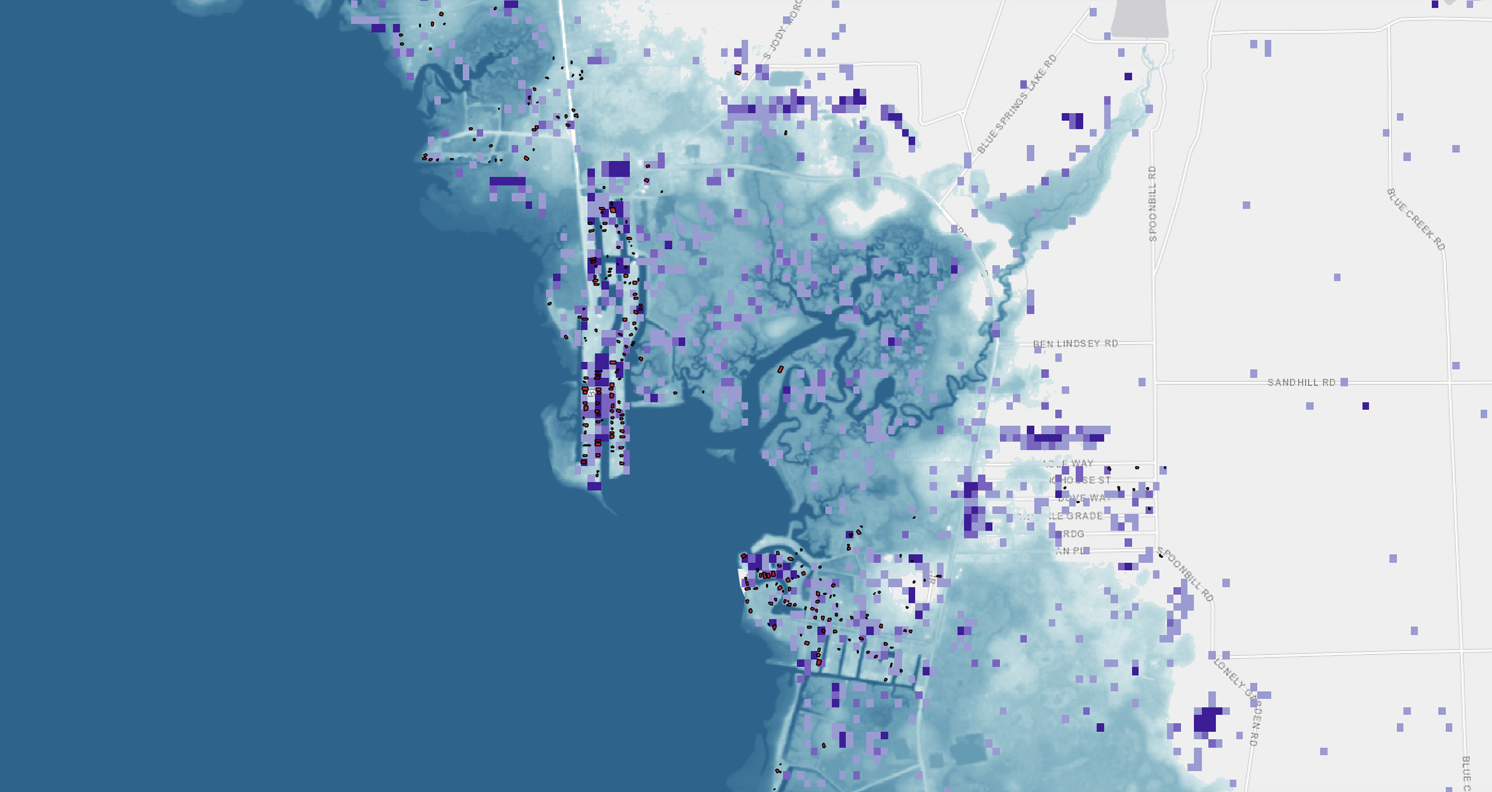
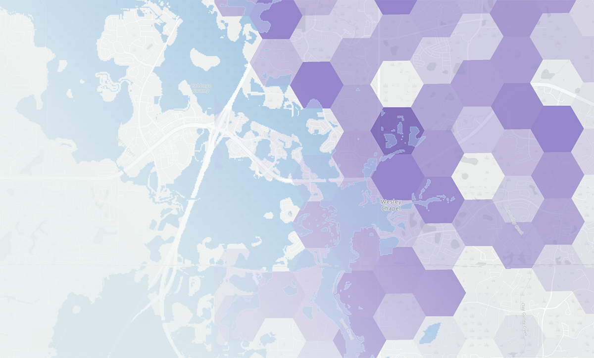
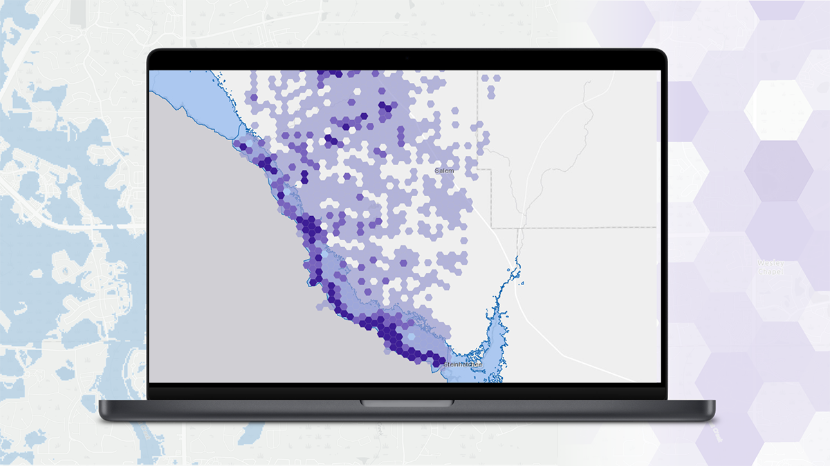
The ICEYE Hurricane Solution is composed of two geospatial data products.
The Hurricane Rapid Impact product consists of two layers - a 30m raster heatmap with each cell containing a “damage score” and a 500m vector Hex Grid, which aggregates the damage scores to give the user a holistic view of the event impact at the neighborhood level.
Additionally, as part of our Flood Insights product, we offer flood extent and depth vector and raster files, representing the total observed flooding across the duration of the event.
Based on customer needs and technical environments, ICEYE offers different options for data visualization and usage. For easy access, ICEYE uploads the hurricane and flood-related data directly to an ArcGIS viewer, which requires no additional technical setup from you. ICEYE will provide access via a link and access credentials to a web-based viewer for instant access.
Additionally, the complete dataset can be accessed via API or Docsend.
Product
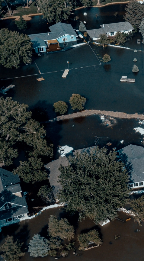
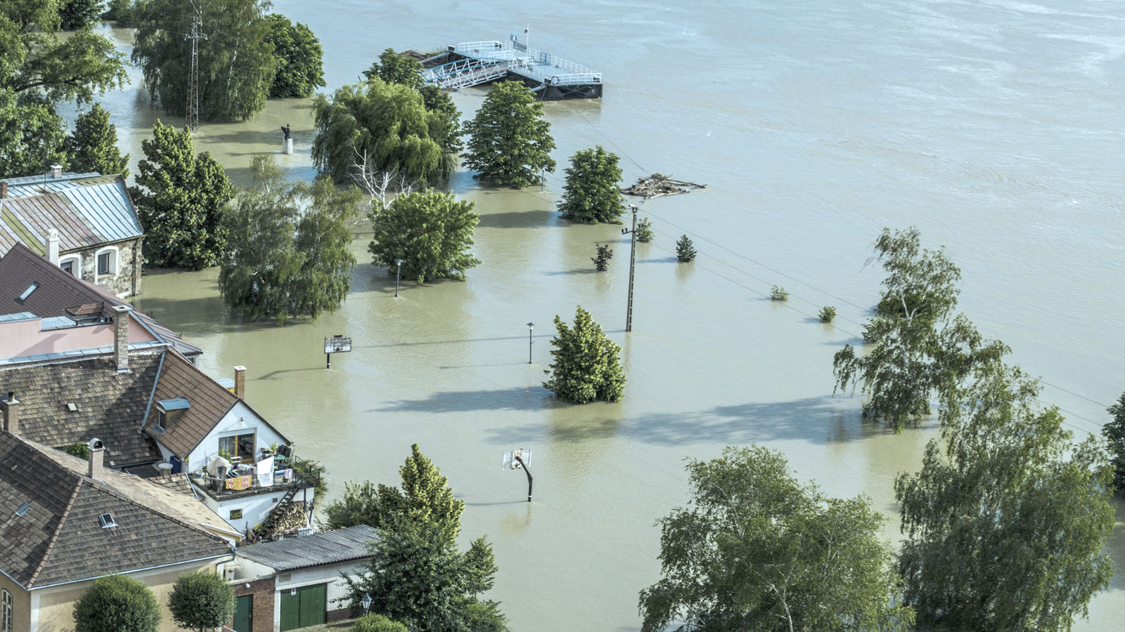
Understand the impact of floods immediately and base your decisions on reliable, near real-time flood extent and depth data.
Product
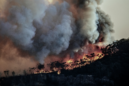
Respond to wildfires in innovative ways by leveraging ICEYE’s unique persistent monitoring capabilities.
Beta
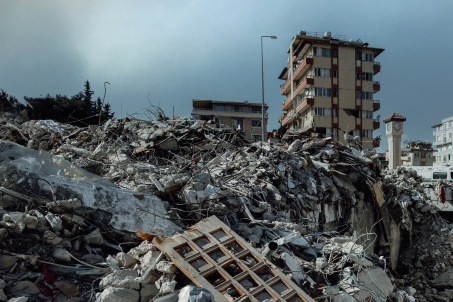
Embrace a proactive approach with ICEYE’s actionable insights before, during and after an earthquake.