Contact us
Get in touch with our experts to find out the possibilities daily truth data holds for your organization.
Persistent Monitoring
Natural catastrophe solutions

Use cases
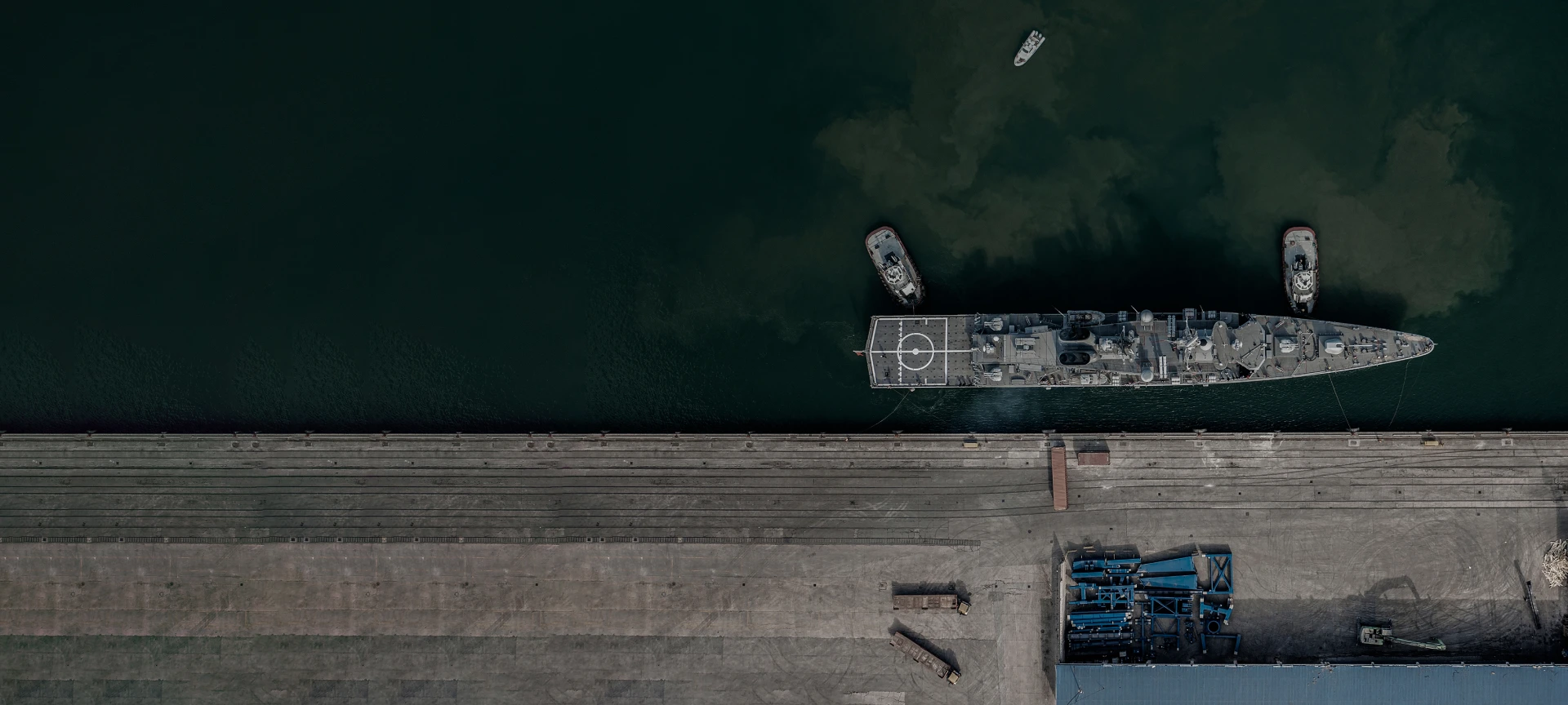
Stay aware of what's happening in seaports of interest around the world.
Get actionable intelligence on port operations, anywhere in the world – track changes and patterns to prevent possible national security issues. Here are some examples of how SAR satellite data can help you.
These daily coherent radar satellite images were taken with ICEYE’s satellites and show the changes in vessel locations in the largest seaport in Europe - the Port of Rotterdam, Netherlands. Thanks to the very high resolution of the images, you can not only detect vessels but also classify them.
Awareness of activities in specific ports, often remote, and the vessels operating there can be critical for national security reasons. However, due to inaccessible locations from the air and the sea, regular observations are a common challenge.
The world’s leading SAR satellite data from ICEYE enables you to persistently monitor any port in the world, regardless of clouds, fog, or darkness. You can get timely imagery on a daily or even sub-daily basis. Stay constantly aware of activities taking place anywhere. Get the actionable information you need for national security.


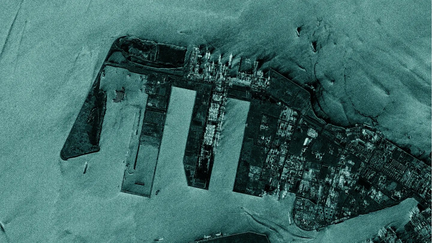
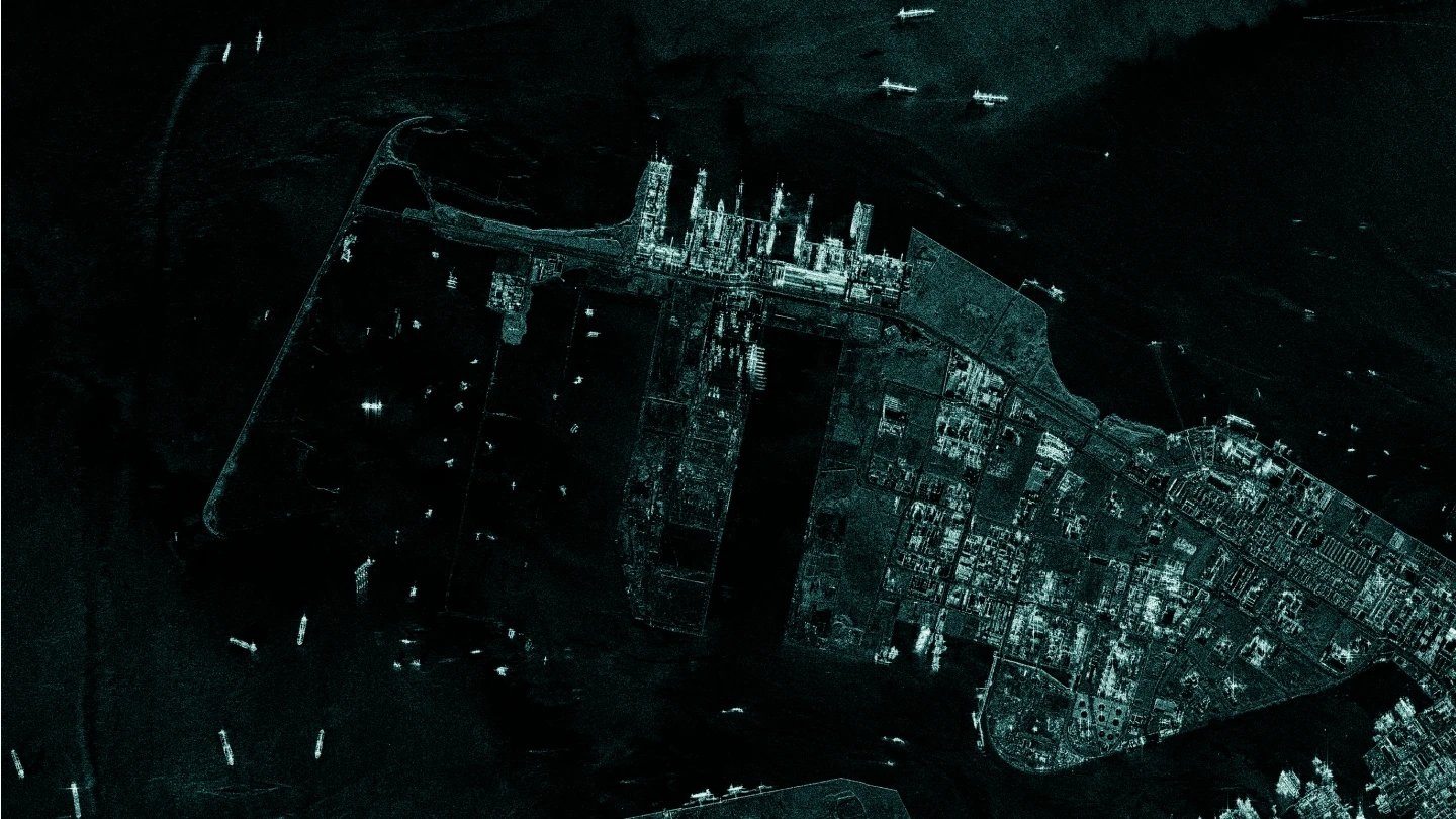
See the construction progress of the Tuas Terminal of the Singapore port. Spot the changes between October 2021 and August 2022.
It can be vitally important but highly challenging to get accurate information on the development of new infrastructure in the ports of your interest, as well as extensive activities related to existing infrastructure.
With SAR satellite data, you can monitor detailed changes in port infrastructure. The imagery provides detailed information on construction and operational activities, down to millimeter-scale changes. Be up to date on what is happening in each port of interest.
See the transportation of containers, bulk commodities and oil in the port of Rotterdam captured by ICEYE SAR satellites as daily coherent radar images. See the Demo Here
See the transportation of containers, bulk commodities and oil in the port of Rotterdam captured by ICEYE SAR satellites as daily coherent radar images. See the Demo Here
See the transportation of containers, bulk commodities and oil in the port of Rotterdam captured by ICEYE SAR satellites as daily coherent radar images. See the Demo Here
See the transportation of containers, bulk commodities and oil in the port of Rotterdam captured by ICEYE SAR satellites as daily coherent radar images. See the Demo Here
For reasons of national security, it can be crucial to know of any intensified transportation of goods and equipment happening in specific ports. Information like this is difficult to obtain using conventional methods.
ICEYE’s constellation of SAR satellites enables you to monitor shipments of containers and other goods, frequently and in great detail. The radar images deliver information about the volume, the frequency of transport, and the type of cargo. Get an early indication of specific actions that might require special security measures.
The world’s most advanced SAR satellite imaging gives you high-resolution visibility into the ports of your adversaries, day or night, through clouds and darkness.
By imaging your location of interest daily from the exact same location in space, ICEYE enables a level of change detection that has never been possible before.
Stay alert with accurate data on daily changes taking place in seaports. Respond to potential threats when it matters the most.
Map out any relevant changes in naval posture over time. Collect reliable and actionable data to support strategic decision-making.
The standard time from image acquisition to data delivery is 8 hours, with the capability to deliver imagery in as little as a few hours for urgent requests.
Base your decisions on reliable data from an established partner. ICEYE has a long track record of serving the world’s most demanding national security needs.
Download our Application Study to learn how to use ICEYE SAR data to get actionable intelligence on port operations, anywhere in the world.
Case study
Discover how SAR data can empower your organization. Reach out to our experts today.