Contact us
Get in touch with our experts to find out the possibilities daily truth data holds for your organization.
Persistent Monitoring
Natural catastrophe solutions
30 October 2024 | Earth Observation,Data,Missions
5 min read

ICEYE satellites have a phased array antenna. The neat thing about phased arrays is that you can change the timing (or phase) of the individual radiating elements to make the beam point in different directions rather than directly out from the front of the antenna. The really neat thing is that you can do this pulse by pulse - so each pulse can illuminate (and record from) a different direction (and we transmit around 6000 pulses every second).
We thought it would be fun to see how many images we can collect as we fly past a region.
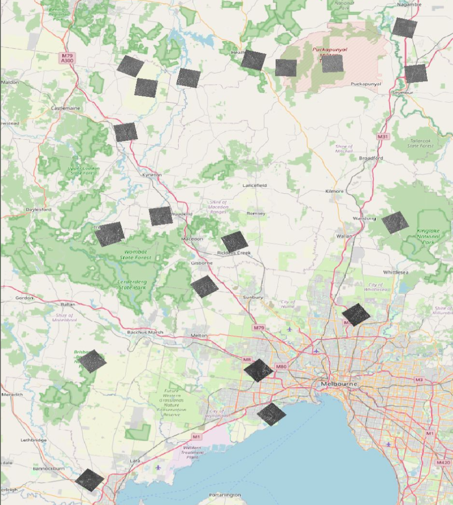
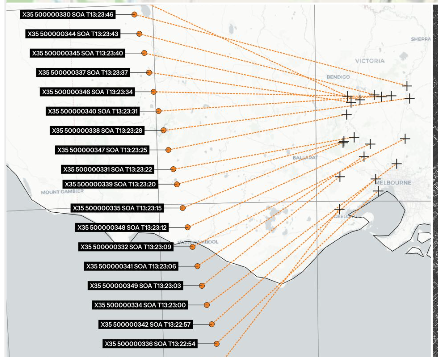
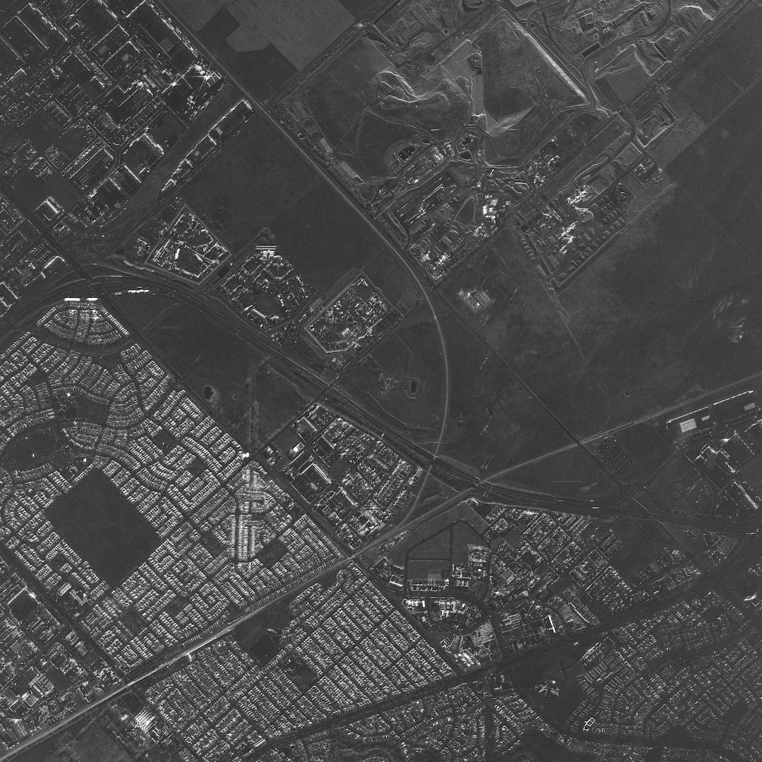
Here are a few pictures showing some results. In the below example, we collected 20 images in one pass. Each image is 0.5 m resolution (in the ground range direction and cross-range direction) and covers 5 km x 5 km in area. The first two show how the collection was performed.


To achieve this, we physically point our antenna to a center location within the larger region, and then apply pulse-by-pulse phase corrections to multiplex the individual locations into one coherent data period (a period of time where we are recording data from the RADAR before we turn it off, so the satellite (ICEYE-X35 in this case), can go and do other interesting things like sunbathe and chill.
This approach requires us to electronically steer the beam while pointing at a fixed location so eventually the beam points too far away from the 'forward' direction of the antenna to provide any meaningful antenna gain- so it depends how close the targets are together.
Another constraint to deal with is that each image needs a certain amount of time (~3-5 seconds) to collect in order to form the synthetic aperture, so having more images means we have to start the acquisition earlier, which means that some of the images are taken from a 'squinted' imaging geometry rather than directly at the side of the satellite- where it is most efficient.
If we take this squint angle too far, it can lead to image quality issues, as the range to the scene increases, and the distortion of
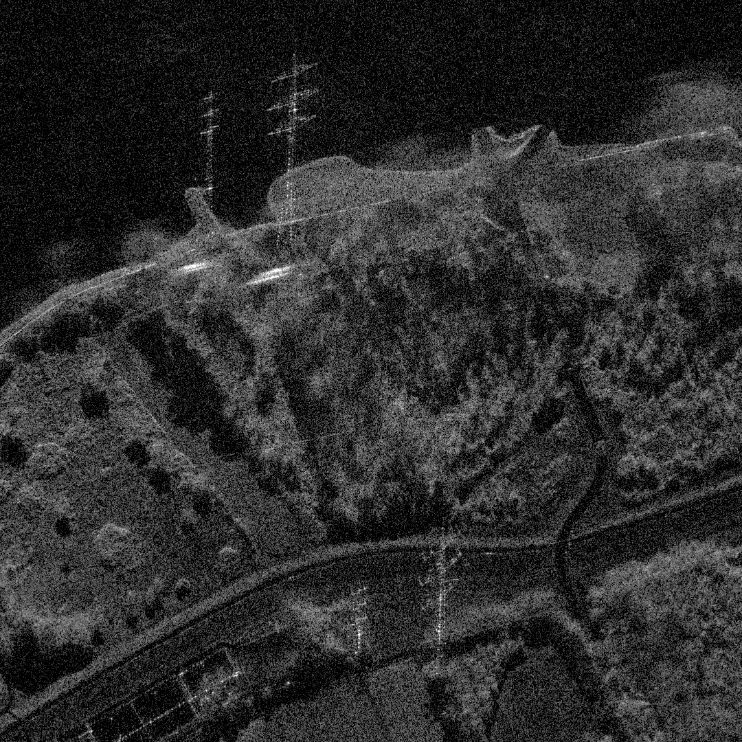
tall objects caused by the RADAR 'layover' effect starts to make things look a little odd. At the moment, we think 20 is about the limit, but we have some ideas to increase this a bit further.