Contact us
Get in touch with our experts to find out the possibilities daily truth data holds for your organization.
Persistent Monitoring
Natural catastrophe solutions
06 February 2023 | Solutions
4 min read
Solutions Marketing Manager, ICEYE

As intense flooding was hitting the state of Kentucky in July 2022, there was an immediate need for quick, high-resolution flood data to identify the impacted communities and facilitate response and recovery activities. In an area where such undertakings could be hampered by complex terrain, relative remoteness of affected communities, and lack of reliable communication means, ICEYE was able to step in as the primary observation-driven source for flood information.
Just a few months later, devastating floods struck the US again – first with the remnants of a typhoon in Alaska bringing the strongest storm in decades to the coastline, then with Hurricane Fiona dumping feet of water over Puerto Rico, and finally with Hurricane Ian causing catastrophic storm surge and historic freshwater flooding through Florida and the Southeast Coast.
Hurricane Ian captured over Big Pine Key, Florida, in September 2022.
Each disaster carried its own issues with traditional data gathering. In Alaska, the remoteness of the communities made it hard to immediately understand what the impact was. In Puerto Rico, the nature of a disaster on an island compounded by grey skies for days after the event meant boots on the ground or even aerial imagery collection plans would be difficult. And in Florida, the scope and scale of the disaster made it hard to get a full picture of who was impacted and where resources would need to be prioritized.
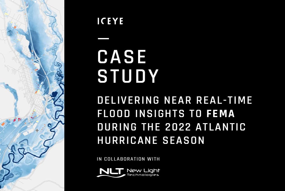
ICEYE’s near real-time flood extent and depth data have been critical in informing immediate response and recovery for several U.S. flood events over the 2022 Atlantic hurricane season.
In collaboration with NLT, ICEYE was able to step in and deliver its initial flood insights to FEMA in fewer than 24 hours from the peak of each flood – utilizing its SAR technology that can see through clouds, at night, and everywhere on earth multiple times a day. That flood data was analyzed with TEMPO (Tool for Emergency Management and Prioritizing Operations) —a tool developed by NLT for FEMA to support response and recovery activities during major disasters through combining demographic and critical infrastructure information with hazard data —providing FEMA and the disaster management community with critical information that was used widely across the regions.
Download our overview of the most impactful floods of 2022.
ICEYE’s flood insights, combined with TEMPO’s unique capabilities, offered FEMA unparalleled situational awareness of the catastrophic floods and provided the agency with the ability to prioritize immediate response and rescue activities, such as the tasking of urban search and rescue forces, expediting of preliminary damage assessments, organization of collection plans for airborne imagery and assembling of on-ground high-water-marks positions. This allowed FEMA to make critical decisions on the allocations of resources and application of relief money in days rather than weeks.
Other users of the joint ICEYE and NLT flood impact data included FEMA Region II, IV, and X —where the data was used to organize resources and understand the impact on buildings and population. According to NLT’s Program Manager Robert Pitts, this data has proven to be invaluable to FEMA for their response during events such as Hurricane Ian and Hurricane Fiona.
“ICEYE’s data significantly improves the ability to monitor weather events and their impacts on communities while serving as a key input to NLT’s disaster response models, revolutionizing the speed and accuracy of the analytics we supply to our customers,” said Dr. Ran Goldblatt, Chief Scientist of NLT.
If you are interested in learning more, you can download the full case study PDF below.
28 October 2025
Flood Ready: How insurers can act faster with satellite insights
Discover how satellite flood monitoring helps insurers gain real-time situational awareness and...
Read more about Flood Ready: How insurers can act faster with satellite insights →15 October 2025
From forecast to fact: Multi-peril data for insurers
ICEYE's Monte Carlo workshop revealed how SAR satellite data transforms hurricane response and...
Read more about From forecast to fact: Multi-peril data for insurers →11 June 2025
6 Data-driven strategies emergency managers should use for hurricane preparedness
How Emergency Managers can ensure data readiness ahead of hurricane seasons.
Read more about 6 Data-driven strategies emergency managers should use for hurricane preparedness →