Contact us
Get in touch with our experts to find out the possibilities daily truth data holds for your organization.
Persistent Monitoring
Natural catastrophe solutions
19 July 2023 | Solutions,Government Solutions
2 min read

The PAC was established in 2010, and is a crucial organization that serves as an advisory body for partnering at Esri. The members of the Council are business executives chosen for their exceptional leadership qualities who play a significant role in shaping Esri's strategic direction and overall growth. The council’s contributions are instrumental in Esri's continued leadership in the GIS industry, offering valuable guidance on product development, market trends, and fostering strong partnerships within Esri's ecosystem.

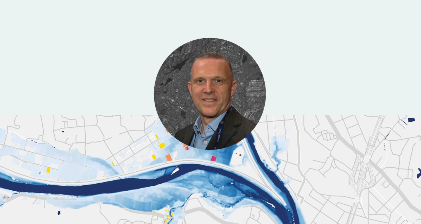
“Through our partnership with Esri, we enable companies to unlock the full potential of ICEYE’s natural catastrophe insights. Representing ICEYE on the Esri PAC takes the relationship to the next level, helping us actively contribute to the overall development and success of Esri's partner ecosystem.” – explains Paul Barron, Global Head of Partnerships at ICEYE.
As a member of Esri PAC, Paul will have direct collaboration opportunities with Esri's executive team and industry thought leaders, ensuring that ICEYE maintains its position as a frontrunner in geospatial innovation while providing the most relevant solutions to its customers. Additionally, he will be part of a committee with a focus on expanding international partnerships on a larger scale and shaping the strategic direction of Esri in the geospatial industry.
If you are interested, you can learn more about the ICEYE x Esri partnership or the Esri Partner Network in general.
Explore the three different ways in which ICEYE's global, near real-time, high resolution Flood Insights can be delivered via ESRI ArcGIS.
05 March 2025
Beyond 99% Precision: How ICEYE’s observed data improved wildfire response in Los Angeles
Discover how ICEYE’s observed wildfire data helped insurers and emergency managers respond to the...
Read more about Beyond 99% Precision: How ICEYE’s observed data improved wildfire response in Los Angeles →19 February 2025
Insurers' guide to accessing and visualizing ICEYE Flood Insights
Learn how insurers can make insightful business decisions with ICEYE Flood Insights and all the...
Read more about Insurers' guide to accessing and visualizing ICEYE Flood Insights →16 December 2024
Atlantic hurricane season 2024 wrap-up: trends, impacts, and future risks
Read ICEYE's summary of the 2024 Atlantic hurricane season to understand trends, impacts, and...
Read more about Atlantic hurricane season 2024 wrap-up: trends, impacts, and future risks →