Contact us
Get in touch with our experts to find out the possibilities daily truth data holds for your organization.
Persistent Monitoring
Natural catastrophe solutions
24 March 2021 | Solutions
3 min read
Head of Product Marketing, ICEYE

In this recent podcast, Charles Blanchet, Vice President of Solutions at ICEYE, sheds light into how ICEYE monitors floods and generates flood hazard data that enables insurers to perform rapid loss assessments. The podcast was hosted by Matthew Grant, partner at InsTech London.
Listen to the podcast below.
InsTech London Podcast - Episode 128, published March 5, 2021.
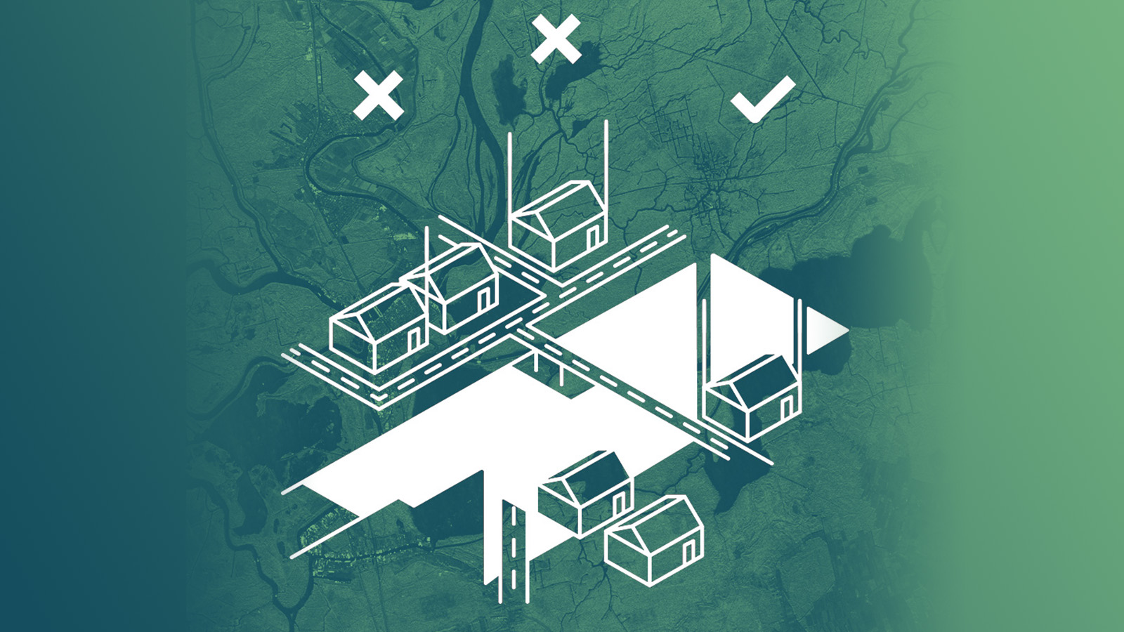
ICEYE uses data from its synthetic-aperture radar (SAR) satellite constellation as the basis for detailed observation of flood events globally. Together with third-party data, such as digital elevation, weather data, building footprints, and analytical technologies, like machine learning, ICEYE generates flood hazard data within 24 hours of the peak. This data includes the depth and footprint of a flooding at the building level.
“Finding potential floods is a huge problem,” Charles Blanchet states in the interview.
Based on the forecasting data that is used to trigger satellite data acquisitions, ICEYE creates flood alert data and makes it available to the clients along with the flood hazard data. This unparalleled dataset allows insurers to mobilize resources quickly.
ICEYE’s flood hazard data can be directly ingested into the insurers’ systems and workflows and then converted into damage and loss data. The data helps to understand the scale of losses for an event at the portfolio level and to “set aside the capital without having to over- or under-commit, which is important to the core of the insurance industry,” Blanchet concludes.
ICEYE works closely with direct insurers and insurance adjusters like Tokio Marine and Swiss Re.
Gain timely information on global flood events and stay up-to-date on ICEYE's flood solutions for the insurance industry.
28 October 2025
Flood Ready: How insurers can act faster with satellite insights
Discover how satellite flood monitoring helps insurers gain real-time situational awareness and...
Read more about Flood Ready: How insurers can act faster with satellite insights →15 October 2025
From forecast to fact: Multi-peril data for insurers
ICEYE's Monte Carlo workshop revealed how SAR satellite data transforms hurricane response and...
Read more about From forecast to fact: Multi-peril data for insurers →11 June 2025
6 Data-driven strategies emergency managers should use for hurricane preparedness
How Emergency Managers can ensure data readiness ahead of hurricane seasons.
Read more about 6 Data-driven strategies emergency managers should use for hurricane preparedness →