Contact us
Get in touch with our experts to find out the possibilities daily truth data holds for your organization.

12 February 2021
6 min read
ICEYE Stripmap images are an information source for many use cases, such as field segmentation,...
Read more about ICEYE’s SAR Dataset Overview: Agricultural Areas in Kansas and California, U.S. →
28 January 2021
7 min read
The term ‘tip and cue’ is used for the coordinated utilization of complementary sensor systems to...
Read more about Tip and Cue Technique for Efficient Near Real-Time Satellite Monitoring of Moving Objects →
Sign up for our monthly Insurance Solutions newsletter for regular updates about ICEYE products and exclusive insights on the most pressing natural catastrophes delivered to your inbox.
06 October 2020
8 min read
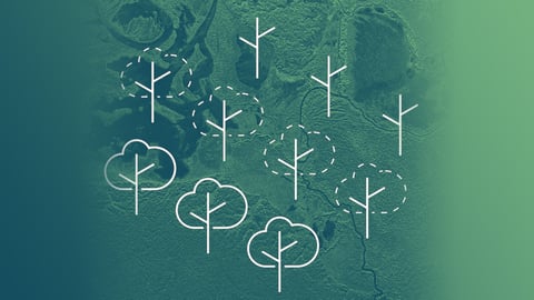
Satellite images are a reliable source to verify the extent and the level of forest loss, to better...
Read more about Deforestation and Forest Degradation Monitoring with SAR Satellite Imagery →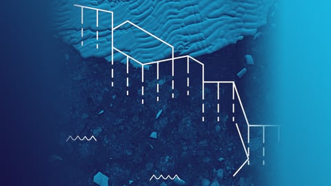
24 September 2020
6 min read
Radar satellite images are very beneficial for glacial studies supporting the growing focus on...
Read more about Monitoring Glacier Changes Using SAR Imagery →
20 August 2020
6 min read
Access to reliable site information is essential in the case of natural or man-made disasters. SAR...
Read more about In the Event of Humanitarian Disasters ICEYE Provides High-resolution SAR Satellite Imagery →
30 April 2020
7 min read
The worldwide COVID-19 pandemic forces countries and businesses to dramatically slow down most of...
Read more about Pattern-of-Life Changes in Theme Parks and Cruise Ship Businesses During COVID-19 Pandemic →
02 April 2020
10 min read
ICEYE has unveiled its latest capability of 25 cm resolution imaging with small SAR satellites,...
Read more about New Benchmark in Imaging from SAR Microsatellites: ICEYE Presents 25 cm Azimuth Resolution →
10 March 2020
11 min read
ICEYE has expanded its radar imaging capabilities with an in-orbit demonstration of SAR videos
Read more about ICEYE SAR Videos Published: Technical Insights and Highlights →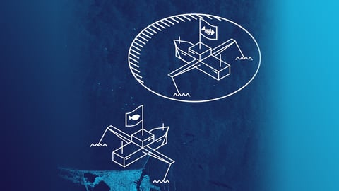
26 February 2020
7 min read
Earth observation technologies assist in patrolling distant-water fishing activities by detecting...
Read more about Supporting Remote Fishery Patrols to Effectively Stop IUU Fishing Activities →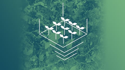
29 January 2020
5 min read
Radar satellite technology enables valuable new solutions for improving agricultural governance and...
Read more about Turning over a New Leaf for Agricultural Financing with Frequent Crop Monitoring from Space →
08 January 2020
5 min read
Fast access to radar satellite imaging enables timely detection and validation of oil spills in...
Read more about Timely SAR Data Speeds Up Marine Oil Spill Response: Two Example Cases →