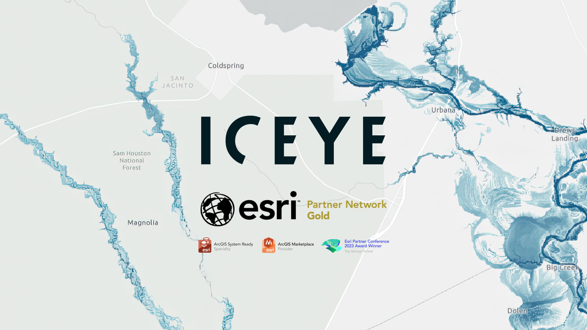
ICEYE, a global leader in satellite-powered disaster management solutions, has reached a new milestone in its partnership with Esri, announcing this month it has been selected as an Esri Gold Partner. ICEYE first joined the Esri ecosystem as a Startup Partner in 2022 and quickly transitioned to Silver status—completing its ArcGIS integration in February and winning Esri’s Top Startup Partner award in March 2023.
Esri is the global leader in location intelligence, with ArcGIS trusted by more than 350,000 organizations, including tens of thousands of government agencies worldwide. The company’s global public-sector footprint has made Esri an essential part of ICEYE’s expansion.
The partnership has developed significantly since 2022, with ICEYE building new connections with Esri leaders, regional distributors, and customers across the global GIS ecosystem. There have been a number of noteworthy moments during this time, including:
ICEYE becoming an Esri Gold Partner is the latest step in this growing collaboration - it signals not only the vast market opportunity, but also the shared vision aligning both organizations.
Paul Barron, Global Head of Partnerships at ICEYE, added:
“As a new Gold Partner, ICEYE joins an elite group of industry leaders within the Esri ecosystem. It’s an acknowledgment of the value that ICEYE delivers for ArcGIS users, including governments and insurance carriers of all sizes. We look forward to building on all the great work our teams have produced and finding new ways to deliver satellite-powered intelligence to users around the world.”
ICEYE will be exhibiting at the 2024 Esri User Conference in San Diego next month. Stop by booth #2129 to learn how ICEYE is helping governments strengthen community resilience in a changing climate.
Learn more about ICEYE’s satellite-powered natural disaster solutions for Government and Insurance, or submit a contact request now to connect with our team ahead of Esri UC.