Contact us
Get in touch with our experts to find out the possibilities daily truth data holds for your organization.
Persistent Monitoring
Natural catastrophe solutions
16 December 2024 | Solutions,Insurance Solutions,Government Solutions
8 min read
Solutions Marketing Manager, ICEYE
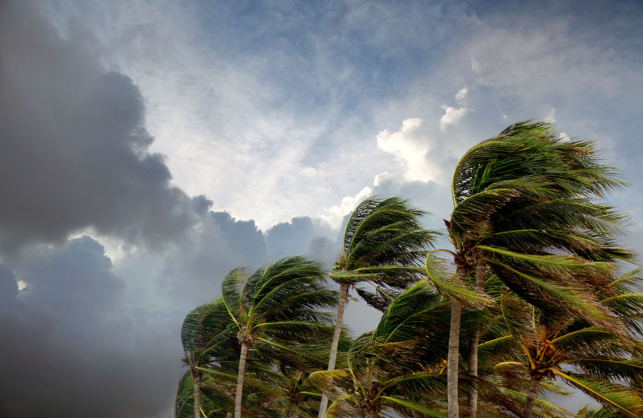
While the season didn’t meet initial storm forecasts, the devastation caused by major hurricanes underscored the risks of a volatile climate. In this seasonal summary with Brandon Wright, ICEYE’s in-house Meteorologist, we explore the key lessons, surprising patterns, and what they mean for future preparedness.
At the start of the 2024 season, forecasts called for an active year. For example, Colorado State University’s preseason outlook predicted 23 named storms, 11 hurricanes, and 5 major hurricanes. However, by the time the season wrapped up, the number of named storms was 18 — a bit lower than expected. That said, the number of hurricanes and major hurricanes closely mirrored the predictions.
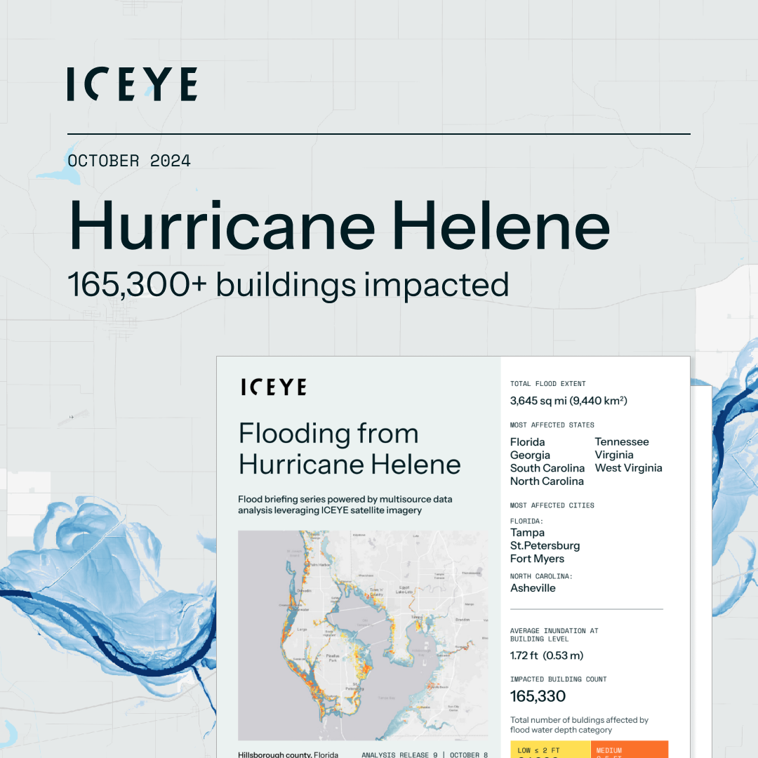
Brandon explained, “It’s hard to forget the catastrophic situations in North Carolina from Helene, in Florida from Milton, or in the Windward Islands from Beryl." While the number of storms was slightly lower than predicted, the severity of these particular hurricanes had lasting impacts on communities.
The 2024 season got off to an unexpected start with Hurricane Beryl, a storm that set numerous records for its strength, rate of intensification, and early-season formation. “Beryl turned out to be a real anomaly,” Brandon shared. Its rapid intensification and early arrival were far from the typical storm patterns of late summer.
After Beryl, however, the season took an unexpected pause. From late August into early September, the Atlantic saw one of the quietest stretches in decades. “This three-week inactivity period was one of the quietest stretches in that part of the season in 50 years,” Brandon noted.
With this unusual lull right before the typical peak of hurricane activity, many wondered whether the season would truly live up to expectations. Of course, major hurricanes like Helene and Milton broke that silence with a bang. In particular, Milton's landfall in Florida, coming barely two weeks after Helene's severe impacts on Florida's western coast, reasserted the season’s intensity.

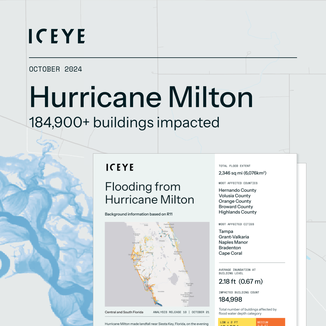
The irregularity of the 2024 season was made evident in October when Hurricane Milton made a record-breaking appearance in the Gulf of Mexico. “Milton’s unusual track and strength were unlike anything we expected, and its impact in October was a reminder of the unpredictability of hurricane behavior,” Brandon remarked.
While the season started slower than anticipated, Milton’s late-season appearance reminded everyone of the volatile nature of these storms. It reinforced the idea that major events could still unfold even after an unusually quiet mid-season.
Regarding Milton, ICEYE monitored the storm and its flood impacts from its formation, acquiring over 100 SAR satellite images of the impacted areas through thick storm clouds and even at night. We delivered the first flood extent and depth analysis on October 10, focusing on the west coast of Florida. Since then, we produced 10 more analysis releases. Based on our final analysis data from Release 11, we identified more than 180,000 buildings that were impacted by the flooding in Florida.
We tracked 13 of the 18 named storms and one unnamed system, performing flood analyses on nine of them, including five hurricanes. These analyses covered a wide geographic range, from Mexico and the United States to Canada and even France, after Hurricane Kirk transitioned into a non-tropical cyclone.
“Our team tasked over 800 images to monitor these systems in real-time, using its satellite constellation to ensure timely, high-quality coverage of each storm. Having access to real-time satellite data allowed our partners to make quick, informed decisions during each event, ensuring timely evacuations and response efforts”, emphasized Brandon.

While the 2024 season didn’t feature a single massive disaster, the cumulative toll of the storms was substantial. According to the New York Post, the season is expected to be the second-costliest on record, with damages surpassing $200 billion. This figure highlights multiple storms’ widespread and often cumulative impact, especially in densely populated areas.
Florida and the Yucatán Peninsula were particularly hard hit, each seeing three major landfalls. The combined effects of Debby, Helene, and Milton in Florida caused extensive damage along the coast and inland areas. The region experienced both direct and indirect impacts from each storm.
Beyond the coast, the Appalachian regions — including upstate South Carolina, western North Carolina, and eastern Tennessee — also faced significant challenges. Prolific rainfall and hurricane-force winds caused some of the worst damage in the region’s history, with recovery efforts still underway months after the storms. Brandon noted, “In these areas, the combined impacts of wind and flooding were catastrophic, and recovery efforts are still ongoing.”
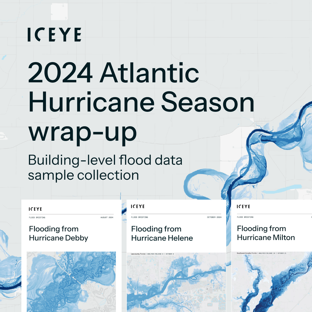
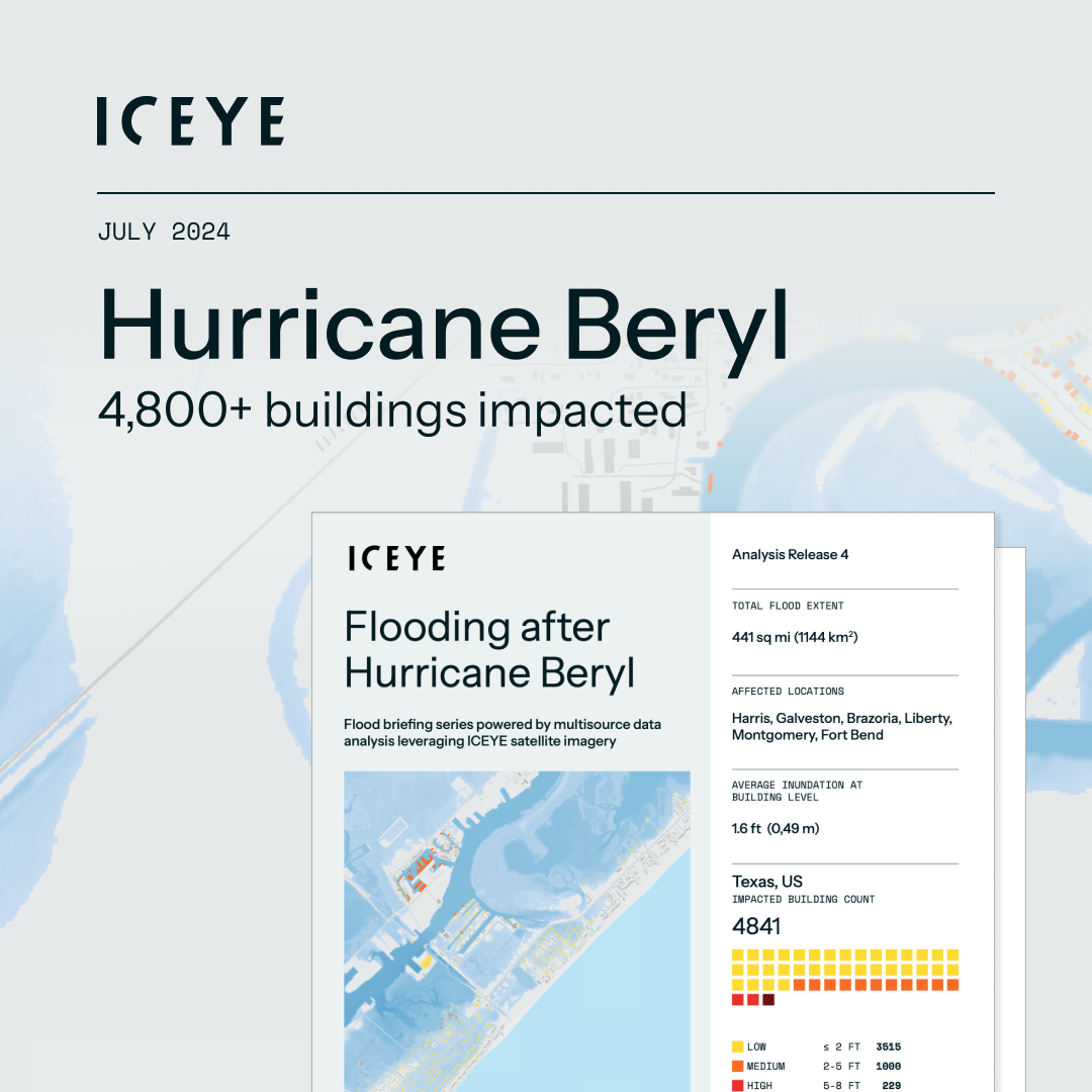
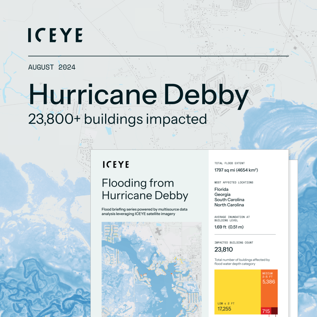

What can we expect for future seasons? Brandon says it’s too early to tell, but trends are emerging. “We are in the midst of a period of average or above-average hurricane activity, stretching back to the mid-2010s,” Brandon explained. “So, it’s tempting to assume 2025 could follow a similar pattern. However, long-term forecasting helps to paint a broad picture, not predict specific outcomes.”
The bigger question for future seasons may not just be the number of storms, but their intensity. As Brandon pointed out,
The 2024 season is a reminder of the critical role that real-time monitoring plays in disaster preparedness and response. As hurricane behavior becomes harder to predict, the ability to access high-quality, real-time data is essential for timely and effective decision-making for organizations involved in disaster management.
11 December 2025
Cyclones Senyar and Ditwah: Flooding impact across Sri Lanka, Indonesia, and Thailand
2025 Cyclone Season: Insights on Cyclones Senyar and Ditwah, two powerful storms that formed in the...
Read more about Cyclones Senyar and Ditwah: Flooding impact across Sri Lanka, Indonesia, and Thailand →28 October 2025
Flood Ready: How insurers can act faster with satellite insights
Discover how satellite flood monitoring helps insurers gain real-time situational awareness and...
Read more about Flood Ready: How insurers can act faster with satellite insights →15 October 2025
From forecast to fact: Multi-peril data for insurers
ICEYE's Monte Carlo workshop revealed how SAR satellite data transforms hurricane response and...
Read more about From forecast to fact: Multi-peril data for insurers →