Contact us
Get in touch with our experts to find out the possibilities daily truth data holds for your organization.

The ICEYE delegation was led by Stephen Lathrope, SVP of Solutions, Andy Read, VP of Government Solutions, and Paul Barron, Head of Solutions Partnerships. Their mission was to engage with insurance leaders, GIS experts, public sector representatives, and emergency management agencies and showcase how ICEYE is advancing data-driven disaster response and recovery.
The conference opened on a high note for ICEYE, with our Brazil floods imagery featured prominently in the keynote address by Jack Dangermond, President of Esri. This recognition highlighted the significant impact of our satellite-powered natural catastrophe insights.
 Photo taken during the 2024 opening keynote of Jack Dangermond, President of Esri.
Katie McDaniel, Sales Development Representative at ICEYE, shared her perspective on this moment: "The highlight of my week was seeing the team's enthusiasm when we received shoutouts from Jack about the ICEYE coverage of the floods in Brazil. Another favorite moment was connecting with visitors at our booth; it was always exciting to see their reaction when they learned about our capabilities."
Building on this momentum, we announced our partnership with Eagle Technology, a well-established distributor for Esri's ArcGIS platform in New Zealand and the South Pacific. This collaboration will make ICEYE's flood intelligence services available for purchase on the ArcGIS platform, benefiting insurance companies and emergency management agencies in the region.
Our exhibition booth quickly became a focal point, attracting visitors eager to learn about ICEYE's natural catastrophe insights and our approaches to strengthening community resilience. We also showcased demo data for Hurricane Beryl, providing a tangible example of our capabilities.
Nick Rodgers, Associate Product Manager at ICEYE, found the direct interactions invaluable: "Meeting with ArcGIS users and hearing about their desired applications for our solutions was incredibly valuable. Having Esri staff available to discuss and brainstorm solutions for these users positions us well to address their needs effectively."
From Mike Bennett's point of view, Head of NA, Government Solutions at ICEYE: "The Esri UC provided a great opportunity for the Government Solutions business to interface directly with our customers and prospects—hear from them on what their biggest needs are and work directly with critical stakeholders and decision-makers on how ICEYE could help. The feedback from these face-to-face interactions was extremely positive, as end users could see in action how our data could support them and their use cases."
On the second day, ICEYE sponsored the Esri Insurance Special Interest Group (SIG) session, an exclusive gathering for insurance industry leaders and partners. This event provided an excellent opportunity to demonstrate how our satellite-powered insights are improving risk management and disaster response.
 Insurance Special Interest Group (SIG) session sponsored by ICEYE, Esri UC, 2024.
Steven Sanders, Strategic Account Manager for Insurance Solutions at ICEYE, commented on the conference's scale and networking opportunities: "The overall scope of the conference is extensive and provides a real sense of the wide variety of organizations worldwide that rely on and use geospatial data. The people were friendly and inquisitive, and booth traffic was excellent, indicating the need for a larger booth next year."
For first-time attendees like Katie McDaniel, the conference was enlightening: "I was impressed by the sheer size of the event. It was inspiring to see the innovative ways people use GIS to solve real-world problems. As a fellow GIS enthusiast, it was also great to learn about all the new technologies Esri is developing."
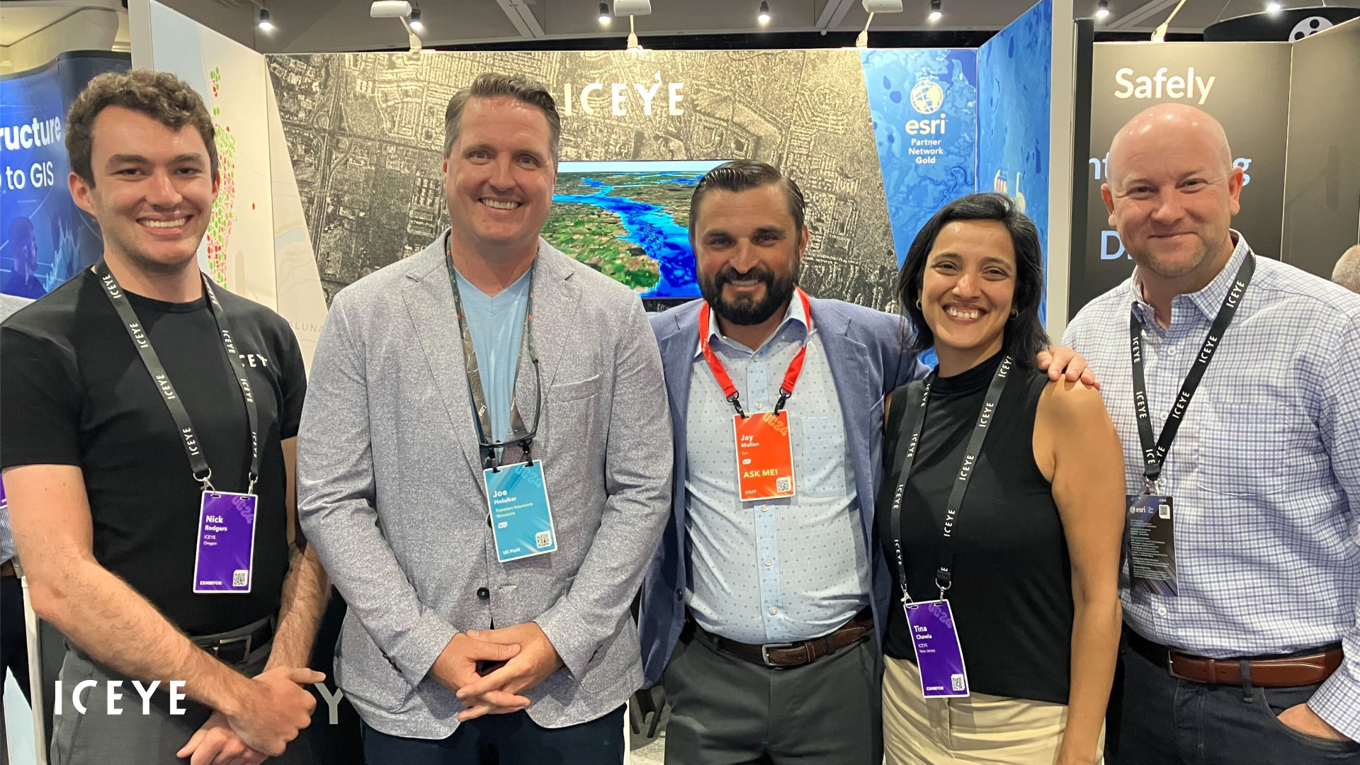
 ICEYE Team members having fun at Esri UC, 2024.
As the owner of the world's largest Synthetic Aperture Radar (SAR) constellation, ICEYE is uniquely positioned to provide the re/insurance industry and public sector with unparalleled natural catastrophe insights. Our ability to offer a clear view of the globe under any conditions – including darkness, cloud cover, volcanic ash, or smoke – ensures that critical decisions are always based on the most current and reliable observed data available.
3D video of ICEYE’s Flood Insights data, crafted by Esri experts to showcase the extent of the recent floods in Brazil.
As we conclude our participation in this year's Esri UC, we're already looking ahead to next year's event. The connections made, partnerships formed, and insights gained have further solidified ICEYE's position at the forefront of disaster response innovation. As an Esri Gold Partner, we look forward to continuing our mission of shaping the future of data-driven disaster management and supporting communities worldwide.
You can learn more about ICEYE’s satellite-powered natural disaster solutions for Government and Insurance, or submit a contact request now to connect with our team.
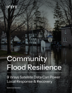
Flood Resilience eBook
The blossoming Satellites-as-a-Service industry has made Earth Observation data more powerful and accessible than ever before. Learn how government agencies at the city, state, & national levels are tapping into commercial satellites to power community flood resilience efforts. Unlock the eBook now.

05 March 2025

19 February 2025

16 December 2024